Location
Where Providence sits.
A plain geographic account of the community's place in South Charlotte — the corridor it belongs to, what surrounds it, and how residents actually move through the city.
Providence Guide editorial teamReviewed August 2026Location
The corridor, not just the address.
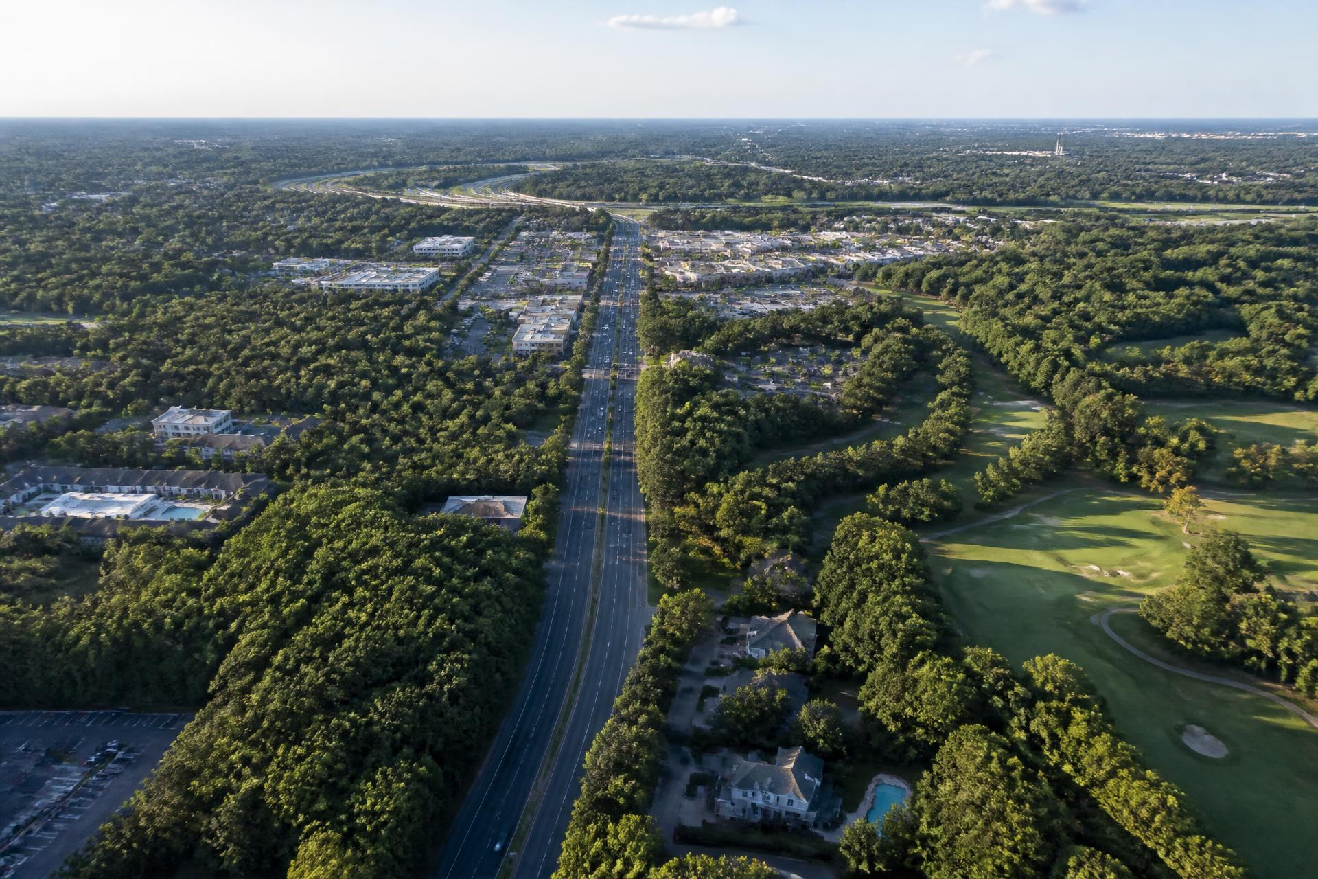
Providence Country Club belongs to a specific band of South Charlotte: the stretch where Providence Road runs south toward the I-485 loop, gathering mixed-use districts, schools, and established golf neighborhoods as it goes. Understanding the corridor explains the community better than a pin on a map. Almost everything a household needs weekly sits within that band, reached by surface roads rather than the interstate.
What lies in each direction.
North — SouthPark and Uptown.
Follow Providence Road north and the character changes gradually: older neighborhoods, then SouthPark with its department stores and restaurant density, then Myers Park and Uptown Charlotte beyond. This is the commuting spine for residents working in the center city, and it is the route most sensitive to time of day.
South and west — Ballantyne and I-485.
The southern loop puts the Ballantyne office and retail concentration, the airport corridor, and the I-77 and I-85 connections within reach without passing through the center of the city. For households with one commute toward Uptown and one toward Ballantyne or the airport, this location tends to be the compromise that works.
East and immediate — Waverly, Rea Farms, Blakeney.
The everyday errands cluster here: grocery, pharmacy, casual and serious dining, fitness, and the kind of open-air retail Charlotte has built along Rea Road and Providence Road West over the last decade. These districts are near the community but are not part of it — they sit outside the neighborhood's boundaries and have no association with the club.
Reading a specific address.
Within the community, location still varies meaningfully. A home on an interior cul-de-sac, a home fronting a fairway, and a home near a perimeter road do not live the same way. When you evaluate an address, check three things on a map before you visit: its distance from the perimeter arterial, its orientation to the course, and its route to the school assigned to that exact parcel.
On distances and drive times.
We deliberately publish no mileage figures or commute estimates. Charlotte's southern corridor varies enormously between 7:45 a.m. and 11:00 a.m., and a static number invites a bad decision. Pull up the actual address in a mapping service and check it at the hour you would really drive it.
Where is Providence Country Club in Charlotte?+
It is a residential golf community in South Charlotte, Mecklenburg County, in the Providence Road West corridor near the southern arc of the I-485 outer loop, within the 28277 area of Charlotte.
How close is Providence Country Club to Waverly and Rea Farms?+
Both are nearby South Charlotte mixed-use districts in the same Providence Road / Ardrey Kell corridor, reached by surface roads rather than the interstate. Confirm exact distance and drive time from a specific address with a mapping service.
How close is Providence Country Club to Ballantyne?+
Ballantyne sits to the southwest along the same southern-Charlotte band and is a short surface-road or I-485 trip depending on the destination. Verify the specific route and timing with a mapping service.
Is Providence Country Club close to SouthPark and Uptown?+
SouthPark lies north of the community along the Providence Road corridor, with Uptown Charlotte beyond it. Both are routine commutes for residents, and both are heavily traffic-dependent by time of day — check live routing rather than a static estimate.
Is Providence Country Club inside the city of Charlotte?+
Yes. It is within Charlotte, in Mecklenburg County, North Carolina — not in Weddington, Waxhaw, or Union County, though those areas lie further south.